Showing posts with label LHHT. Show all posts

Saturday, May 23, 2015

Laurel Highlands Hiking Trail - A Thru Hike (Day 6)

LHHT Day 6
1. Date: 5/8/15
2. Day 6
3. Morning temp: 60. Later 81
4. Weather: Cool in am with some clouds, then sunny.
5. Time start: 0705
6. Time stop and miles: 1035. 6.1 Miles
7. End point: Ohiopyle - End of trail.
8. Events: Grouse drumming, 1 slip on down hill
Log: Last day. It was a very nice morning and we were ready to finish. We headed out together, but I had some issues with the gps app and got behind. There were two decent climbs, followed by two steep declines, but before we knew it we were back at Ohiopyle, where we had caught our shuttle six days ago. It was a great hike.


It was another clear, cool morning and the final day of our hike.  We arose at 6 and got ready for the day.  Today's hike would be the shortest day of the week at only a little over six miles.  There were two 600 foot climbs each quickly followed with a 600 foot down hill.

We actually headed out at the same time today, both ready to get on the trail.  This whole hike I had been running the app Map My Hike during the whole hike in the attempt to get a gps track of the whole trail.  So far, it had worked very well and I had decent tracks of all five days so far.  I had also been taking gps tagged pictures of certain landmarks, like road crossings, streams and power lines.  I had also photographed all the mile stones (except 62, don't know how I missed it) and I had acquired a good deal of data on the trail.  I had also figured out that the best maps are the old topos at the back of the old Laurel Highlands Trail guide.  It was easy to figure out where I was with a glance at the little maps.  Today, my app wouldn't start tracking, so KJ moved on as I fiddled with my phone.  Eventually I just fired up a backup app that would gather the data I needed for the day, but the lady in my phone wouldn't be announcing milestones as the day wore on.  

There be Dragons
Once again our start time was just after 0700 and at 0730 I came across this fellow.  A Dragon peaking out of his cave.  I wasn't burned alive as I took a picture and carefully moved on.

A Warning?
Next we passed through an ancient deer grave yard.  A sacred place for the beasts.  

Trillium
We moved along easily and headed up the first of the two climbs of the day.  It really wasn't that bad as my pack was the lightest it was going to get and it was going to be a short day.  
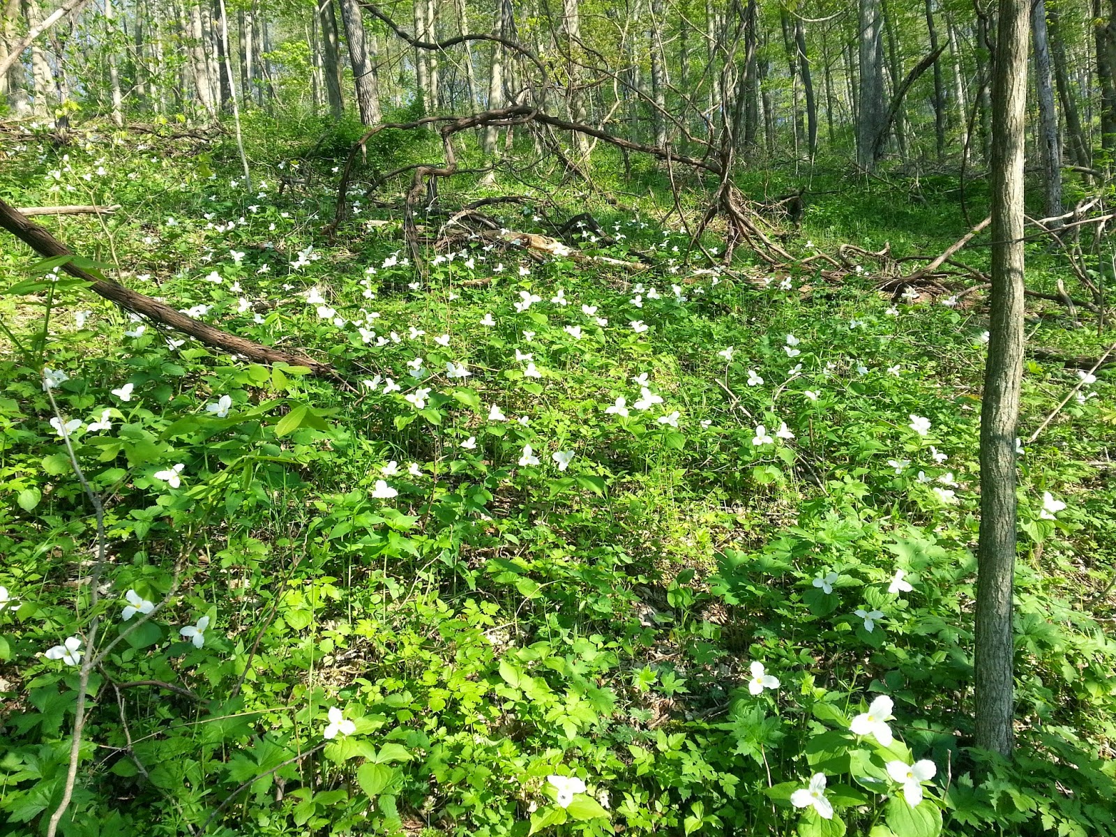
A whole hillside of Trillium
May Apple Flower
We took our last break at Rock Spring Run.  As we were resting we could hear the drumming of a grouse off in the distance.  Spring was definitely down here in the stream valleys.  I didn't fill my water here as I had plenty for the rest of the hike and I wanted to arrive back at the truck as near empty as possible.  Onward up the last climb.

Resting at Rock Spring Run
Bluets 
With just over two miles left, we came to our last view of the hike.  I nice one looking over the Yough valley.  Before too long, we would be down at the level of that river.

Last View
We headed down our last descent and after almost six days of hiking, I finally had a short slip and down I went.  It wasn't bad at all and I blamed it on letting my concentration lapse as we headed down the steep descent.  

Finally, we were at Mile Post 1.  

Thumbs up from KJ.  One mile to go.
I tried my stick pick, phone holder thing again and I need to do some adjustments and test it out more.  It seems hard to get a decently framed picture.  

Stick Pic Photo

The final stairs
The trail comes down from the hillside onto an old gravel road and then heads along the river to the parking lots and this fine establishment, the Falls City Restaurant and Pub.  We were still a little early, but I would be back later.

Mmmmm, beer...
Back at the trucks, I weighed my pack and it has lost about 10 pounds or so.  I estimated that my body had lost about five.  

All done
We went into the changing place for the white water rafters and there was a sign saying the water was turned off.  I tried the sink faucet and out came a slow stream.  That was enough for a quick bandanna bath and a change of clothes made me feel fresh, although I still didn't recommend standing down wind of me.  

We found a little sandwich shop and proceeded to have a very good post hike lunch.  I normally don't take pictures of my food.  (ok, I do from time to time), but when I saw this huge clove of garlic baked into my bread, I had to snap a pic to show my bride.
It was delicious.

Turkey and cheese on a garlic loaf with mac salad as a side
The hike was done.  I felt great.  If there was more trail to hike, I would go hike it, but I had to get back to work.  I really felt like a quick shower and some re-supply and I would be ready to go for another week, or a month, or who knows...

After lunch, we parted ways.  KJ still had some days off left and he was headed to his cabin.  I had to get home and then get back to work at the Museum.  Our busy season was starting.  

Not ready to head home yet, I went back over by the outfitters and walked around their store again.  I say Crash, our shuttle driver and talked to him for a bit.  As we were talking a girl sitting on the bench asked me if my shirt was an ATC shirt.  It was of course and I had a nice conversation with Pheonix, who is from Carlisle and had volunteered at the Mid-Atlantic Regional Office of the ATC in Boiling Springs.  She was now working as a raft guide I think.  These people here seem to really be living the dream.  

After our nice talk, the Pub had opened and I headed over for a celebratory PBR.

This hike was awesome.  I highly recommend it.  It take some planning and you have to stick to your itinerary and pay for the shelters, but it was all worth it.

In a few days, I will try to make another post about the gear I brought, what I used and what I just carried.  Some of that stuff I will still carry as I see it as emergency gear, but other stuff I will probably leave behind.

Thanks for following along.  

EarthTone (Wrong Way Joe)

Day 1 - Day 2 - Day 3 - Day 4 - Day 5 - Day 6

Friday, May 22, 2015

Laurel Highlands Hiking Trail - A Thru Hike (Day 5)

LHHT Day 5
1. Date: 5/7/15
2. Day 5
3. Morning temp: 59. Later 85
4. Weather: Cool, clear, followed by sunny and hot.
5. Time start: 0705
6. Time stop and miles: 1428. 11.4
7. End point: Ohiopyle Shelter
8. Events: owl, bird chase

Log: Up before six and on trail a little after seven. Day grew hot fast, but water was plentiful. The long downhill into the shelter was a killer. Tomorrow we finish.

Another cool morning greeted us as I rolled out of my bag and started the day.  It was clear above and I was on the trail a little after seven.  Today was a "shorter" day of about 12 miles and the start was good.  

As I started out, the trail followed along a small stream for a while where this cool little falls could be heard quite a ways off.  I was making my way up the hill when a really cool thing happened.  A small bird came flying down the trail and passed me at about knee height.  It was really quick, but I could feel it alter its course enough to avoid me and my trekking pole.  Withing a fraction of a second, a second bird came by, hot on the first birds tail.  It all happened in the span on about a half of a second, but it was still pretty cool.  I'm guessing bird #2 was chasing some tail, literally.  

Small falls
Once again, I came upon a fossil stone in the trail. 

Fossil 
I was drinking lots of water again today as we passed some good streams and was drinking my fill and filling up as much as I could.  I always feel better when I'm well hydrated.  It makes everything go easier.  The evening before I had run out of Part A of my Aqua-Mira, but still had plenty of Part B.  I'm not sure how that happened other than maybe not closing the lid a while back and had some leakage, but KJ had two sets and gave me some of his Part A, but today I started using my Sawyer Mini Filter on my Smart Water bottle and it was working pretty good.  The filter is nice as you can drink immediately and don't have to mix chemicals and wait the proper times to mix and drink.  I'm glad I carry both, so I can adjust to the situation at hand and will probably continue to do so.  

Only 15 miles left
Logged area
After passing this sign, we walked past a logged out area.  The heavy machinery was long gone and the logged forest didn't look too bad.  They had left a lot of mature trees and it looked very "park" like as we skirted the edge of the area.  Careful, controlled logging can be a good thing for a forest.


Water and rest stop

After lunch we started our 1400 foot elevation loss.  It was a pretty steep going down, but we just carefully made our down over about three miles.  As we got lower, spring started to pop.  Earlier in the hike, the May apples are just spreading their leaves.  Here, they already had their little fruit.  It was an interesting transformation that elevation change does to the ridges. 
If this isn't fair weather, I don't know what is...
Once again we arrived at the Shelter turn off.  This would be our last night on the trail and our shelter #3 was waiting for us as usual.  We crossed the creek, which was running very well, and climbed up the bank to find our shelter.  We set to doing our usual end of day chores and my food bag was getting pretty empty, just as I had planned it.

For most of my hikes I have had a lot of food left over at the end of the hike, but I had been concentrating on planning my meals better, taking into account my lower appetite when a hikes starts out, but I was starting to get the hunger now.  I ate my last Mountain House meal and it was good.  All I had left was breakfast, some powdered milk and a jelly packet.  Perfect.


Ohiopyle Shelters - #3 Shelter, our home for the night
As I lay on my sleeping pad and looked out into the forest, I noticed how that elevation change had changed the forest.  The trees were more fully leafed out here and everything was much greener.  It was a welcome transformation.

It got green after dropping 1400 feet
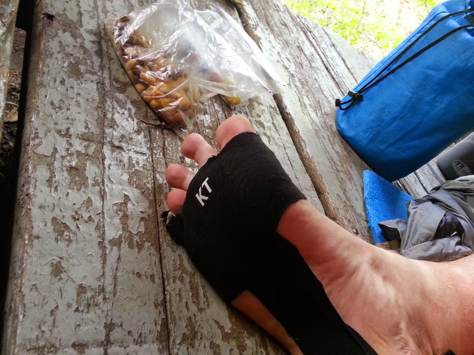
My tapped up feet were still doing fine.  The KT tape was easily lasting three days at a time (which is good, because that shit ain't cheap) and my two little toe blisters had stayed small and weren't causing me any trouble while walking.  The toe socks had helped tremendously and I was glad I had them.  


Tape works

Recommended by KJ
I do carry some "useless" stuff, like this little guy here.  I found him in my back yard and have no idea where he came from as there are no little kids on that side of my house, but he now rides on my pack to greet all who come by.  I'm still trying to figure out where he comes from.  There is a logo on his shoulder that looks like a J and a P.  It is still a mystery to me.

The useless, (but meaningful) shit I carry. 
After a final pleasant fire in the shelter, it was time once again to slumber through the night.  I tried some things with my failing sleeping pad, but none of them worked, but I slept good enough.  
This... is... the... life...
We had only six miles of trail left and would finish on the morn.  This was a very short Thru Hike, but a very cool one also.  I was feeling great, my feet were no longer aching at the end of the day and I felt as if I was already hitting a decent stride.  If there were more miles to hike and more time to hike them, I was up for that, but duty was calling and it would soon be time for me to get back to work.  

Tomorrow we would finish...

Day 1 - Day 2 - Day 3 - Day 4 - Day 5 - Day 6


Tuesday, May 19, 2015

Laurel Highlands Hiking Trail - A Thru Hike (Day 4)

LHHT Day 4
1. Date: 5/6/15
2. Day 4
3. Morning temp: 57. Later 80
4. Weather: cool clear. Later warm
5. Time start: 0730
6. Time stop and miles: 1611. 13.5
7. End point: 653 Shelter
8. Events: Seven Springs
Log: Up at 6 again and out by 0730
Good trail today. Seven Springs the highest point on the trail.


The morning dawned cool and clear again with another possible hot day ahead of us.  I re-taped my feet and today I would wear my Injinji toe socks.  After the day's walk, I would wonder why I didn't start out wearing these amazing socks.  They really helped with my little toe blisters and felt great all day.  I would definitely be buying at least one more pair after this hike.

Today I would be hiking the second two days of my 1982 hike in one day.  I remember back then that I was so glad to be done at Grindle Ridge after a seven mile day.  Today would be almost double that, but the climb out of Blue Hole Creek would still be as "fun" as it was all those years ago.


Temp tattoo is wearing off a little
I was on the trail at 0730 with KJ not too far behind.  Before long he caught up to me and as we crested a hill we could see some cell towers in a clearing.  Right in front of it was a small fire ring.  This was the first impromptu campsite we had seen during our hike.  With the rule being you must sleep at the shelter areas, these are either very rare or very well hidden off trail a ways.  


Unofficial (illegal) campsite
We ventured out into the clearing and over on the next mountain, we could see Seven Springs.  We would be over there looking back in a few miles.  


Seven Springs in the distance. That is snow showing between the towers legs.
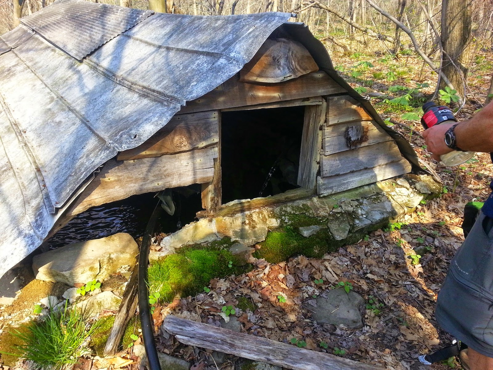
As we headed down the next hill, I could hear water flowing.  It was time to drink up and fill our bottles and we found this awesome spring house just pouring it clear water into the space.  Poking my head in the window, I was tempted to dive into the couple feet of clear cold water, but decided that wasn't the best idea.  Instead, I drank up and filled up and moved on.  
Spring House
As we approached Seven Springs, we came upon these beautiful beasts, just hanging out in their corral.  This was the Seven Springs Stables and the curious horses gave us a glance or two until we hiked on by.  


Seven Spring Stables
Before too long, we were at Seven Springs and walking along it wide open spaces as we followed the trail across the resort.  It was still too early for lunch, so we took a nice break in the shade of some pines at the crest of one of the hills.  It was very pleasant and if we didn't have plenty of miles still to go, it would have been the perfect place for a short nap.  
Seven Springs View
Chillin in the shade
We moved on and kept following the trail through the resort.  This is the highest point of the LHHT.  It was all down hill from here.  I wish...

Looking back at the towers we passed.
That little line sticking up on the horizon in the middle of the picture above is the towers we had walked past a little over an hour ago.  It is really cool to have a view of where you are going and where you have been and this area was perfect for doing that. 


Lake Lodge
The trail continues under the ski lifts and heads to Tahoe Lake.  This lake is a rather recent addition I believe.  It wasn't here in the early 80s and the maps in my old trail guide don't show it, but it is a very nice lake that would be very refreshing on a hot day like this day.  After checking out the closed lake lodge, we hiked on.


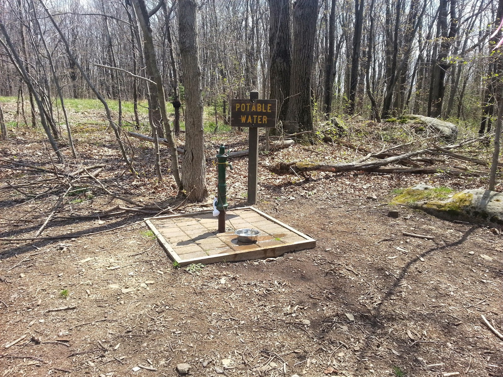
One of the few potable water faucets
We cameled up and cooled down with this nice water faucet that is next to a road on the trail.  It was very refreshing.  It was almost time for lunch.


The climb out of Blue Hole Creek towards Grindle Ridge Shelter area
Right around Noon, we came to Blue Hole Creek, which is a nice flowing creek.  I instantly remembered those stone steps heading up out of the valley and the pain I felt as I had this one more climb until our shelter area for that day long ago in 1982.  Today, it would be just another climb of many.  We ate a nice lunch at the site and filled our water for the next leg of the journey.  We didn't walk into Grindle Ridge Shelter Area today to check the water situation.  There are reports that the water tastes a little funny and we still had miles to go before we slept.  


Another nice and interesting rock maze, what I started calling Squeezers
View looking west.  Notice how the trees are still just starting to bud.
Graveyard near Rt 653
We passed this small graveyard shortly before crossing Rt 653.  It is an old cemetery with some of the head stones having some very old dates and other just field stone propped up as a head stone.  

At around four pm, we headed to the Rt 653 parking lot where we hoped to get some more potable water before heading down to the shelter area.  This water probably was drinkable, but it came out orange and there was literally a spoonful of rust that would gather at the bottom.

Our shelter was the first one you came to on the blue blaze into the shelter area and this one had a nice little wall as it was propped up on the hillside.  Any night time wandering would be a careful event.  

Shelter #3 and #4 
After checking the pump, we dumped our orange soda and filled up with some better looking water.  The creek was running nice here and KJ took advantage of that down stream to clean up a little.  

Rest rooms and pump area - Rt 653 Shelter Area
After dinner, when I was relaxing in the shelter as had become my MO, we heard some rain start.  It started and ended very quickly, maybe about 10 minutes of rain.  With the heat of the day, it would have been refreshing, but I was comfortable where I was and already dozing.  

Soon it was sleep time.  During the night, we would hear an owl asking us all "who cooks for you?"  It was cool.  

Only two more days left.  


Day 1 - Day 2 - Day 3 - Day 4 - Day 5 - Day 6

Saturday, May 16, 2015

Laurel Highlands Hiking Trail - A Thru Hike (Day 3)

LHHT Day 3
1.  Date: 5/5/15
2.  Day 3
3.  Morning temp: 60
4.  Weather: Mild with clouds. Little rain. Some sun.
5.  Time start: 0730
6. Time stop and miles: 1634 13.4 miles 
7.  End point: Route 31 Shelter
8.  Events: hills, pleated wood pecker
Log: A warm morning with clouds overhead. Some rain for about an hour. Lots of water today. Drank a lot. Passed Halfway point. Everything going good.

Wherever you go, there you are... EarthTone

The morning was much milder this morning at 0600 when we both started to get up.  I went through my routine and KJ Claymored his gear over half the shelter as he organized his stuff.  

I was ready to go at 0730 and off I went.  KJ would follow when he was ready.  He would catch me in about two hours.  When I head off ahead like this, I like to just mosey around, checking things out.  Not really hiking fast, as we have all day.  The temps were already in the 60s and would climb towards 80 later in the day.  I described in my notes as the weather being Mile with Clouds.  Today, we were supposed to get some rain and I would be able to try out my new piece of gear.

Rock outcropping from guide
As I hiked along, I came to a series of rock outcropping.  The each looked familiar as I think some of them are in the LHHG guide I had. I took a couple of pictures of them and hiked on.  
Cameling Up.
Shortly after KG caught up, we stopped at this nice stream to take a break and fill our water.  When we were getting ready to head on, a group of three women came walking down the trail.  There were a lot of trail junctions here and they had just come from a nearby parking lot.  We discussed the coming rain and I told them that something should be arriving in about 30 minutes or less.  Shortly after that, I felt a drop or two and I updated my forecast as they turned back to end their excursion early.


New umbrella gear
So, the rain started to fall and I rigged my new umbrella to my pack strap.  After a suggestion from KJ, I moved it to the other strap to better protect my belt pack, where I keep my quick grab stuff, like Aqua-mira, snacks, Vitamin I, TP, etc.  I usually have to remove it and stow it in heavy rain, but this might let me keep it where it needs to be most of the time now.  It started raining at 1000 and had stopped by the time we got to Beam Rocks, just before noon, where we ate lunch.  

Bright Trillium showing its stuff
View from Beam Rocks
At a couple places along the trail, there are fossil rocks right in the path way.  This was one of them.  I would see one more during the trip.  It was pretty cool.  


Fossil
The highlights of today's hike would be crossing the PA Turnpike and reaching the halfway point of the trail.  We didn't head down into the Turnpike Shelter, as this was going to be one of our longer days, and I had heard that the water at the shelter is usually very iron filled.  I was taking notes of every stream and shelter pump for a water report I was going to pass on to the LHHT Facebook group, but this shelter's status wouldn't be on the report.  A truck honked at as as we crossed the bridge.  I usually do that myself, when I am the driver and I see a hiker on a foot bridge.  It is fun. 

PA Turnpike
Half done
Trillium
At around 4:30 pm, we came to the shelter sign for the Rt 31 Shelters.  We headed to our Shelter #3 and dropped our gear.  This shelter area is where I had stayed twice before.  The first time was in the early 80s, when we took that nice three day trip south from this point.  I had also come back in the late 90s with my wife, kids, sister and her kids and did an overnighter that mimicked the start of my 1982 hike.  It is a decent shelter area, but we couldn't find Shelter #5.

Rt 31 Shelter
Shelter #3 at Rt 31 Shelter Area
We did our chores and ate our dinner.  I removed the KT tape that I had put on at the beginning of the hike.  My feet were doing really good.  The small blister on my little toe hadn't grown at all and wasn't causing too much pain and the balls of my feet were feeling fine.  I would re-tape in the morning.  I went down to the small stream that was running through the area and soaked my feet a bit in the water.  

The Ranger finally visited us on this evening.  He was pretty much just checking to see if we were still out there (and probably that we were following the rules). We had some good conversation and then he was on his way.

KJ made a fire outside the shelter this night and I was too tired to make one inside, so before long, my hiking midnight would come and I would be curled up in my sleeping bag on my messed up sleeping pad, but my sleep this night would be a little less spinning and a little more dreaming.  

Tomorrow, Seven Springs...

Day 1 - Day 2 - Day 3 - Day 4 - Day 5 - Day 6